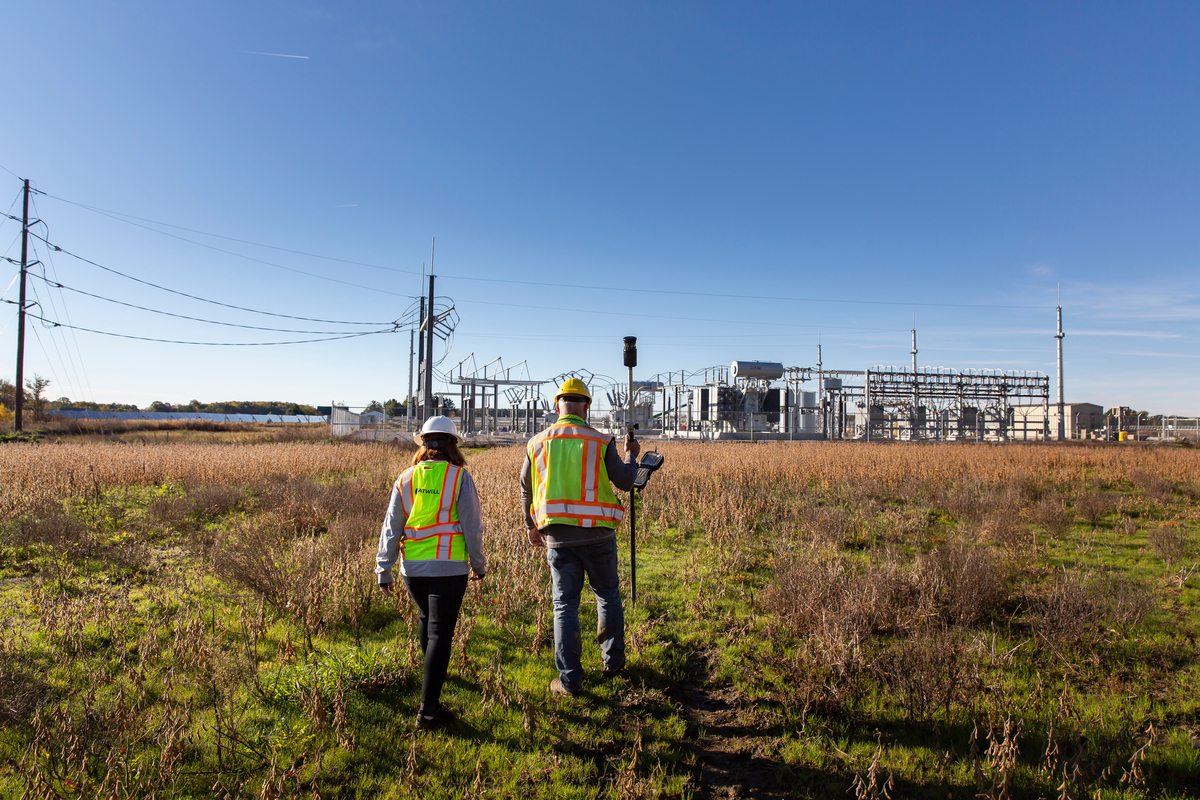
GIS means connection. GIS (Geographic Information System) connects data by leveraging the spatial component of information, allowing for the integration, analysis, and visualization of diverse datasets to gain insights into geographic patterns and relationships. At Atwell, our projects rely on data, and we use GIS to collect and manage the data so we can interpret it and keep our clients informed in real-time.
GIS gives us the ability to manage multiple layers of data collection from both the natural environment – such as water courses, water bodies, wetlands, and species – to the built environment – such as buildings, roads, solar, wind, transmission – and more, within the same system. We can leverage whatever combination of data gathered from the field, mined online, or other product data and display it all on top of each other to help inform decisions.
Our team of GIS experts provides both internal support to our teams and external support directly to our clients. Whether we’re supporting our land development, natural resources, or our environmental clients, our GIS team is working to ensure their data reflects the most up-to-date and accurate numbers to minimize risk and maximize opportunities for our clients.
This year’s GIS Day theme highlights how GIS technology has changed the way we perceive, navigate, and shape our world. It shows how combining human creativity with technology helps us discover hidden trends, support sustainable growth, and make smarter decisions using the power of location data. We’ve used ArcGIS StoryMaps to highlight the evolution of GIS, Atwell’s GIS team, and the GIS trends you can expect in 2025 and beyond.