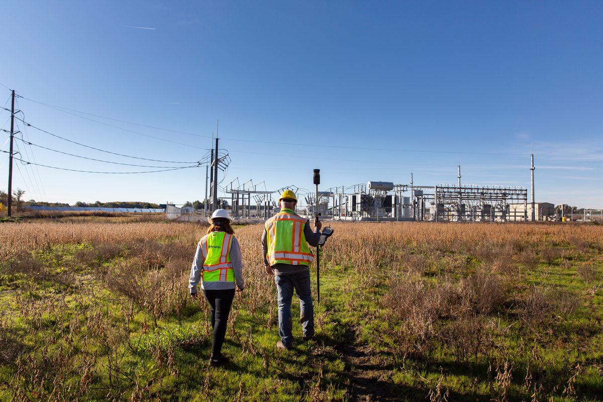
The accelerated progress of a 4,000-acre solar farm development in southern Illinois was due in large part to Atwell’s survey team in its Naperville, IL office. By incorporating various aerial mapping tools into their surveying and project management process, the team was able to efficiently and safely deliver successful outcomes to the client.
What does aerial mapping accomplish?
Atwell utilizes drone-based LiDAR (Light Detection and Ranging) and photogrammetry payloads to provide accurate and efficient surveying. These technologies allow our surveyors to map large areas and access hard-to-reach or dangerous areas quickly and safely. Atwell strives to be a leader in these technologies as we analyze how they can benefit our clients and meet increased demands for these services.
The benefits of aerial mapping
Aerial mapping provides a number of benefits to clients for their projects. Because the drones are able to survey a wider scope of land, including hard-to-reach or dangerous areas, mapping can be completed more safely and efficiently. There is also little to no interference with highways, train tracks, or other transportation sites. Team members can do their work from a safe distance in a fraction of the time with more accurate data. For a 4,000-acre project like this one, saving time in an effective and safe way has a significant impact on the timeline and a successful outcome.
For a solar farm, aerial mapping allows surveyors to more accurately determine how suitable a site is and how to more effectively plan for the overall development. The slope of the land is important for determining the maximum amount of sunlight that solar panels can capture, and unobstructed views and paths are also vital for solar panel operation. The drones are able to pinpoint all of the necessary information for the surveying team to understand the land and topography better. Data acquired from aerial mapping is not only more precise, but it produces higher quality imagery. With aerial mapping, a number of deliverables are available, from orthomosaic maps to digital surface models (DSMs) to contour line mapping.
Finally, aerial mapping is not only useful for renewable energy projects. It can be applied to all of the markets that Atwell serves: real estate and land development, oil and gas, and power and renewable energy. We can provide clients with an extra layer of confidence that their projects will be completed as precisely, promptly, and safely as possible.
Realizing the potential of aerial mapping services
Tori Aper, a Project Surveyor at Atwell, knew of another land surveyor with decades of experience and a professional emphasis on geospatial technologies, including aerial systems. That person happened to be her husband, Kurt Aper. With Kurt’s expertise, the team was able to build and strengthen Atwell’s aerial mapping services and successfully execute Atwell’s largest geospatial surveying project to date.
According to Tom Bartosik, Project Manager, this solar farm project was one that would usually have the support of subcontractors; however, the team completed everything in-house. Kurt’s extensive knowledge in the subject contributed to Atwell’s ability to use aerial mapping as a way to increase efficiency and safety for the team and the client.
Considerations when aerial mapping: climate, equipment, and time
Field verification of the quality of the LiDAR data is critical to a project’s success, including this one, enabling the team to catch and correct issues and adjust flight parameters while still on site. The site’s remote nature and large size made it necessary to use a portable generator so that drone batteries could be charged on-site, allowing almost continuous flights. Finally, weather is an important factor in using aerial mapping strategically. This particular solar project development took place in December. The frigid temperatures, various precipitation, and wind often made flying difficult.
Planning and processes for effective aerial mapping
Flying a large site like this, where one would usually subcontract traditional airplane-based mapping service, requires forethought and preparation. The team relied heavily on thorough pre-flight planning.
“We needed comprehensive planning of ground control targets and flight areas to make field work efficient,” explained Kurt. “I chose the initial ground control points (GCPs) and relied on my team to continue the process.”
Pete Roberton, Survey Crew Chief, led those efforts. After setting the 30 GCPs in locations that Kurt had chosen, he continued with section and boundary recon. All the GCPs were about 1,800 feet apart, sitting on or adjacent to roadway, which made the process immensely easier.
“I would set the GCPs at the southwest end of the site first,” Roberton explained. “As soon as I completed an area large enough to begin flying the drone, Kurt would send the drone up. I was able to complete all the GCPs in one day and spent the following days searching for section and boundary corners while aiding Kurt as a visual observer for the longer flight lines.” The duo spent about three-and-a-half days on the 4,000-acre site.

Processing and extracting aerial data
When it was time to process and extract the aerial data, Tori Aper led the way. After processing the LiDAR data, ground features were extracted from the point cloud to be brought into the topographic base map. The topography varied greatly, with bank cuts for roads and bank tops for the streams and ditches, so maintaining the tops and bottoms of banks was crucial in extracting accurate points for the surface tin. Flying with LiDAR allowed the project surveyor to ascertain the centerline of streams and ditches, even in forested areas.
“If the area was too obscure in the point cloud, I had a crisp photo of the entire area to fall back on to see what was taking place, thanks to the photogrammetry,” explained Tori Aper. “I could then pull data from the point cloud for all the line work and ground elevation points, which were brought into CAD for the topographic base map and eventual surface creation.”


The team’s mapping was executed with impeccable skill and the entire site was flown in just a few days. The mapping was then processed the following week, saving Atwell and the client several weeks of time and resources.
“We’ve been able to hone our skills and confidently offer this service with our other projects.” Bartosik noted. “At Atwell, whether it is surveying or mapping services, engineering design or environmental services, we are truly one company with numerous solutions!”